Shipping update
Orders placed from 18 December will be shipped in early January.
Thank you for your patience and best wishes for the festive season.


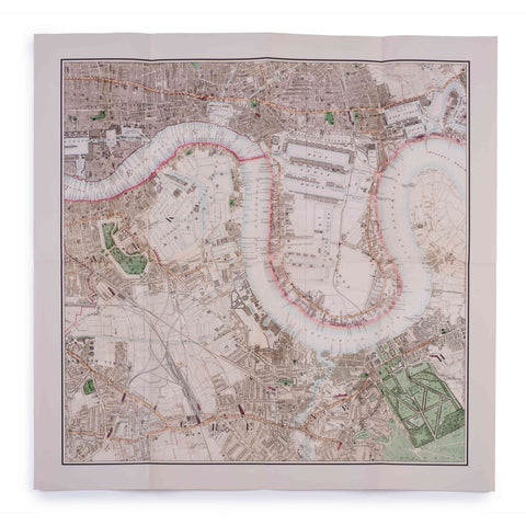
The Environs of the Isle of Dogs Cloth Map Print 1905

FREE postage on UK orders over £30
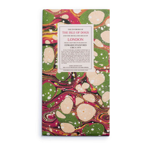
Individually handmade in the family-tun workshop of craftsman Phillip Buttough, this map is laid on high-quality cloth and beautifully presented in a marbled slip case.
This map of the Environs of the Isle of Dogs and the London Docklands makes a wonderful gift.
It was first printed in 1905 by Edward Stanford. On a scale of four inches to one mile. The boundaries of counties, boroughs, and urban districts are shown as follows:
-The parks and open spaces under the control of the London County Council are coloured red blue-green. Other parks and open spaces are coloured yellow-green
-The main roads, omnibus, and tramway routes are coloured brown
-Levels are given in feet above the sea, "Ordnance Datum", which is 12 feet six inches below "Trinity High Water"
Size: 18" x 18"
Your order will be shipped within 4 days.
£4 UK postage on orders under £30.
FREE UK postage on orders over £30.
We ship to the UK and worldwide, but delivery to EU countries is temporarily suspended. View all delivery information.
For more information, view our returns policy page.

