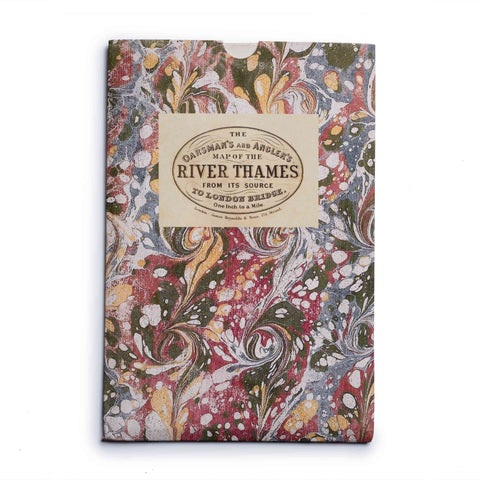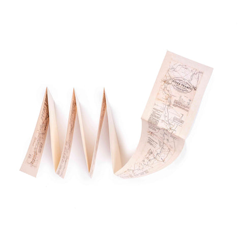

Oarsman's and Angler's Map of the River Thames - Cloth Map Print 1893

FREE postage on UK orders over £30
Individually handmade in the family-run workshop of craftsman Phillip Burrough, this map is laid on high-quality cloth and beautifully presented in an antique marbled slipcase.
Oarsman's and Angler's Map of the River Thames was first printed in 1983. This folded cloth map with slipcase starts with the River Thames from its source to London Bridge. Printed with pigment ink on to archival paper and laid on to cloth, it is fade resistant and light fast.
A beautiful unique gift.
- Map first printed: 1893
- Map size: 5.5 x 68"
- Slipcase size: 5.5 x 17"
Your order will be shipped within 4 days.
£4 UK postage on orders under £30.
FREE UK postage on orders over £30.
We ship to the UK and worldwide, but delivery to EU countries is temporarily suspended. View all delivery information.
For more information, view our returns policy page.

