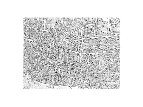
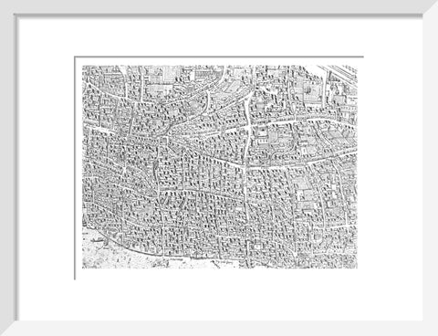
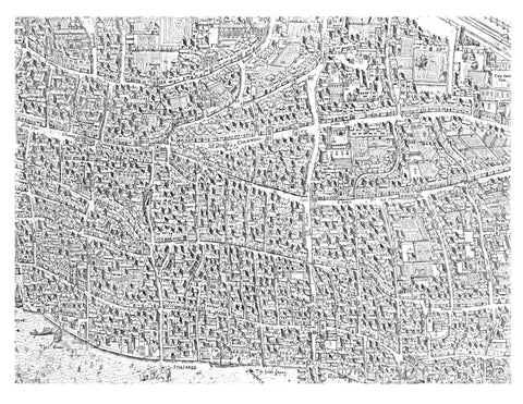

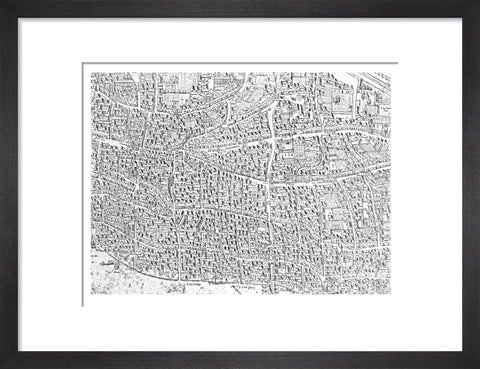
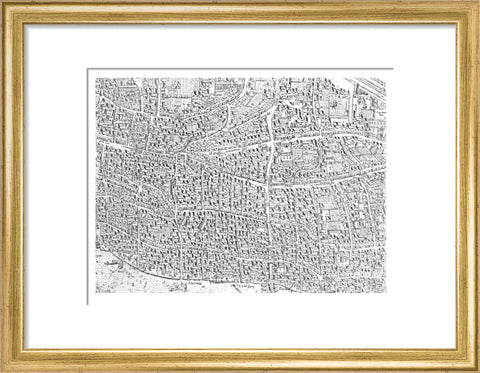
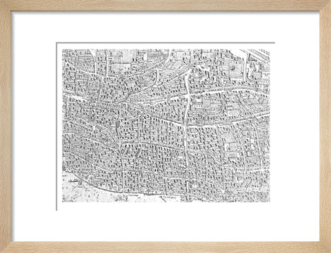
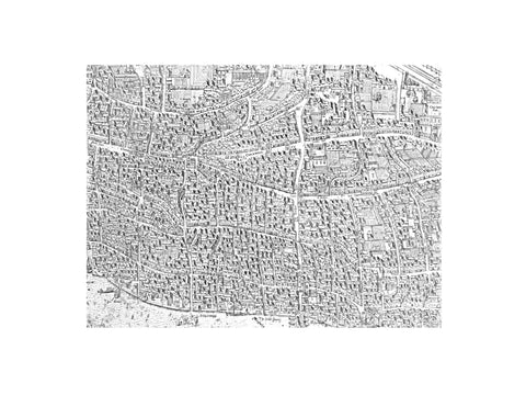
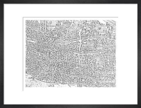
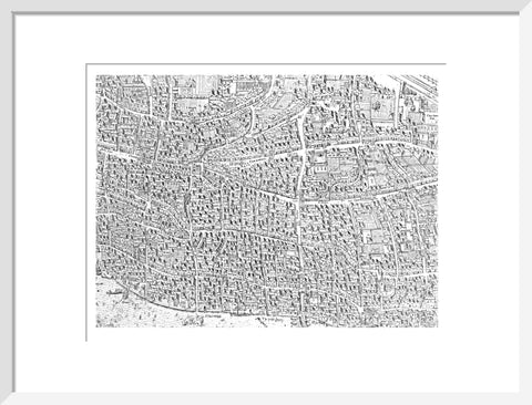
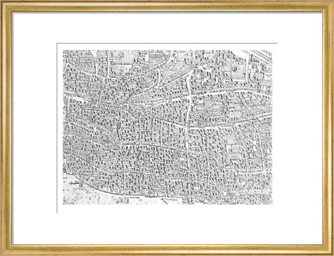
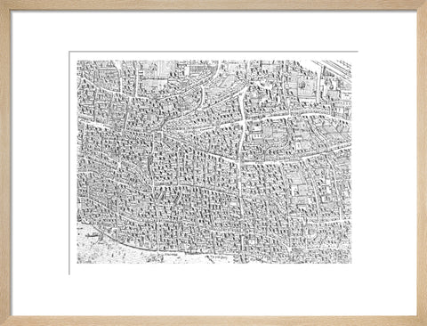
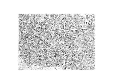
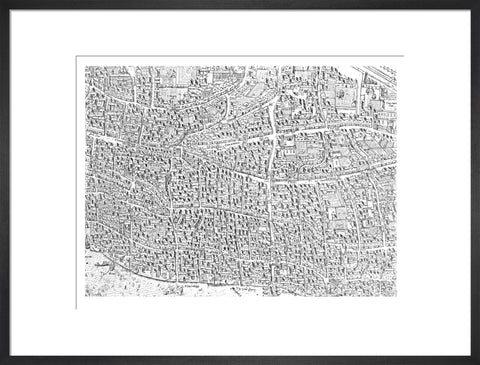
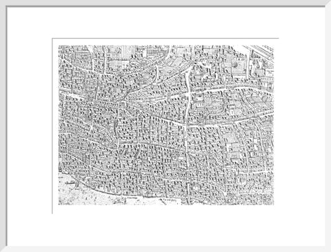
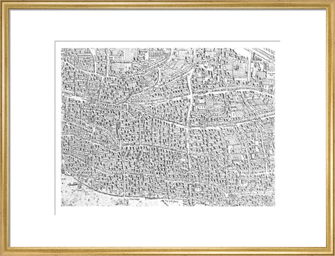
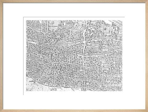
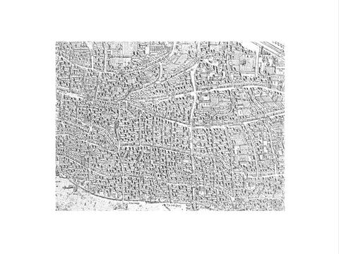
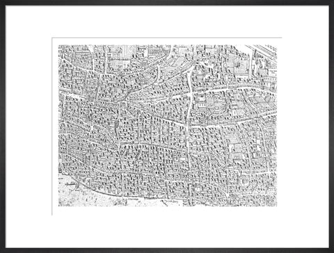
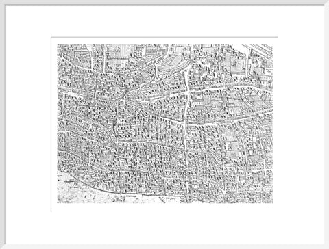
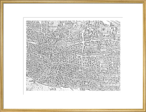
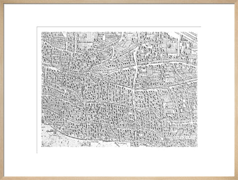
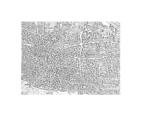
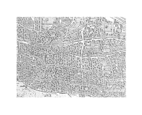
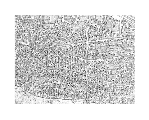
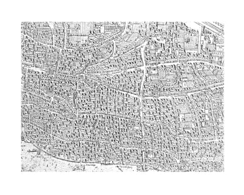
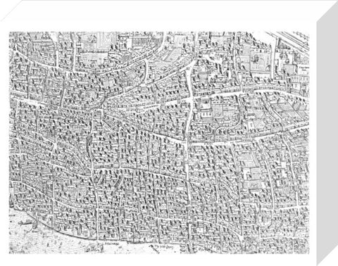
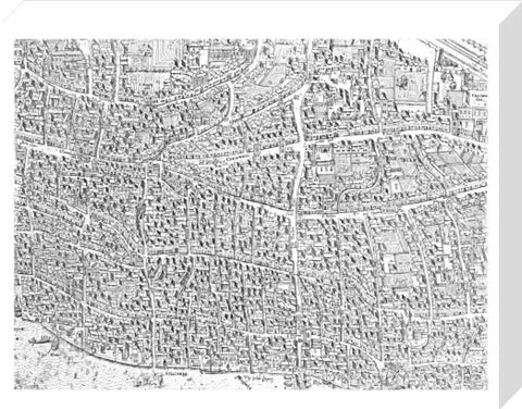
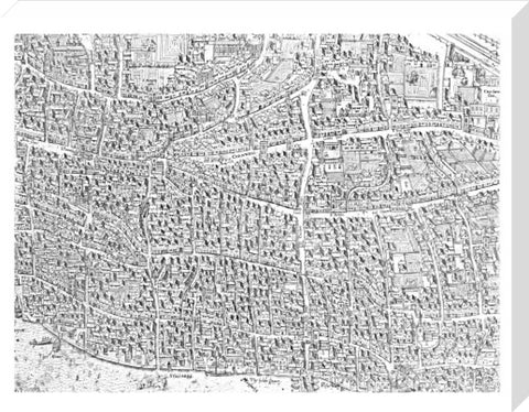
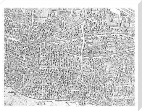
City map image made from the Copperplate Map 1559
£25.00
small art print
Product size
30 cm x 40 cm
Image size
22 cm x 29 cm
Choose variants
Select Type
Select Size
Select Frame

An image of how a print would look if printed from the City section of The Copperplate Map which dates from the 1550’s and is the first known map of London. Made in fifteen copper sections, or plates, only three are still in existence. Two plates which depict the areas around Moorfields and the City are in the Museum of London and a third plate, held by the Dessau Art Gallery, shows the area around St Paul's Cathedral.
Artist: Frans Franken
Copyright: © London Museum
Date: 1559 AD - 1559 AD
Object ID: 85.471
Unframed prints are shipped within 5 working days.
Framed prints are shipped within 15 working days.
Postage from £7.90. We ship to the UK and worldwide, but delivery to EU countries is temporarily suspended. View all delivery information.
Our prints are made to order and cannot be refunded unless faulty, damaged or not as described.
For more information, view our returns policy.
City map image made from the Copperplate Map 1559
From £25.00
