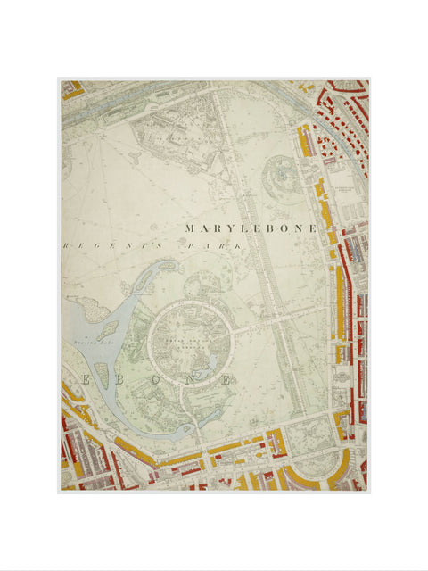
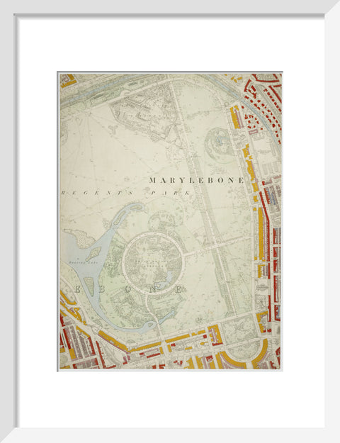
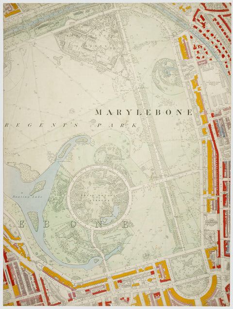

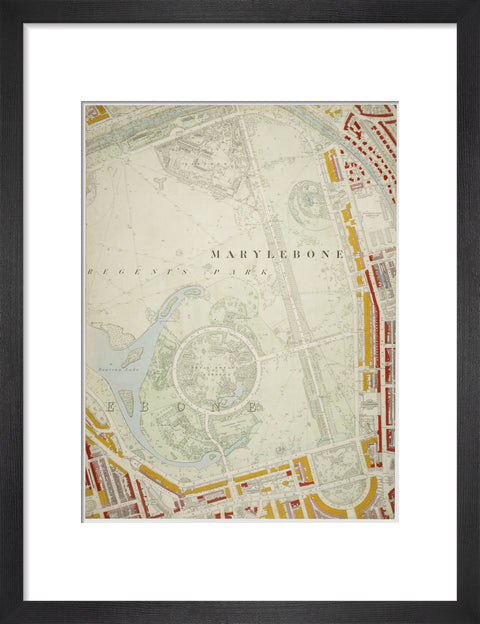
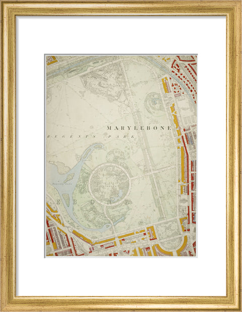
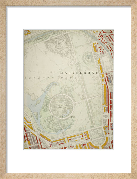
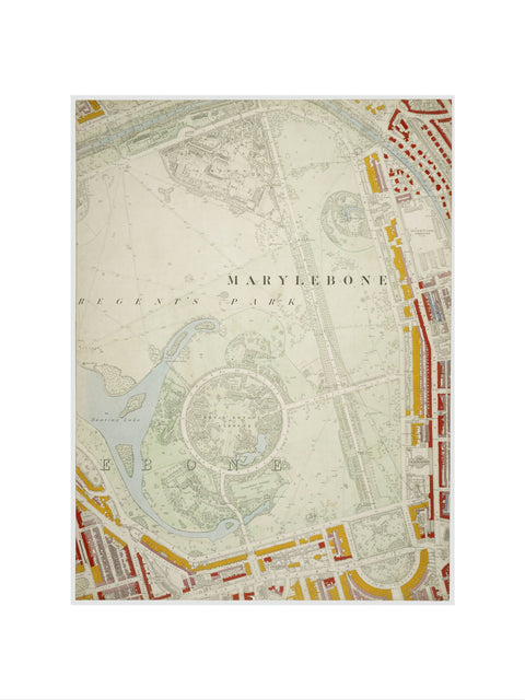
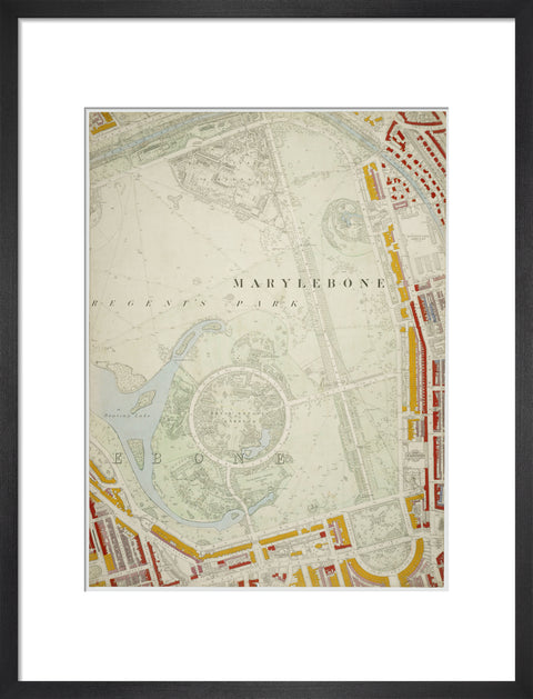
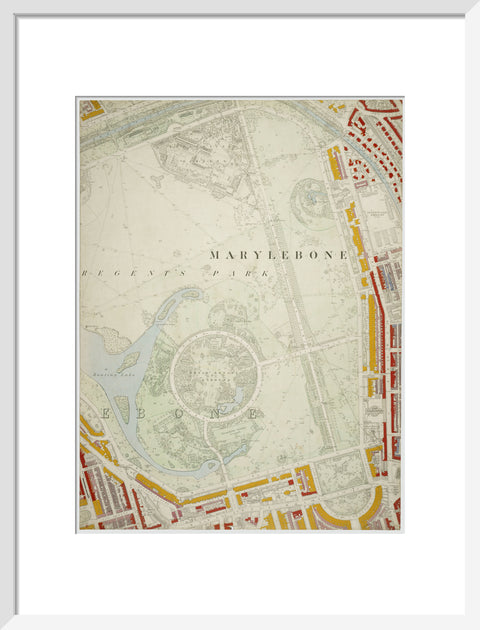
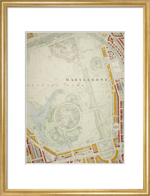
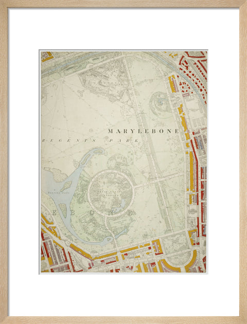
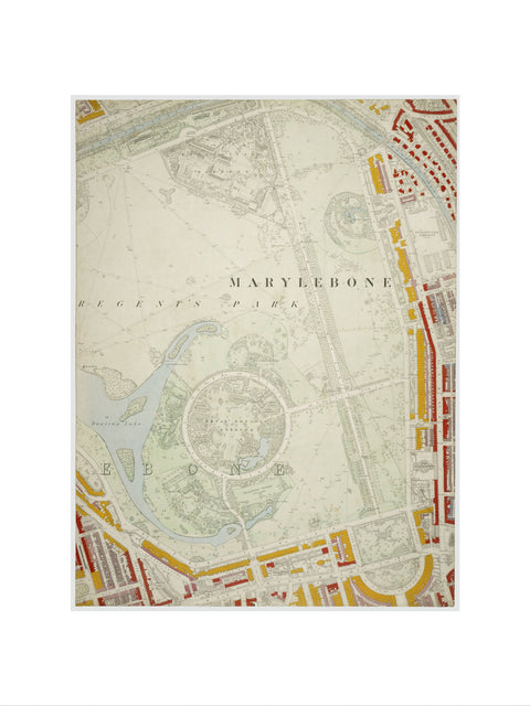
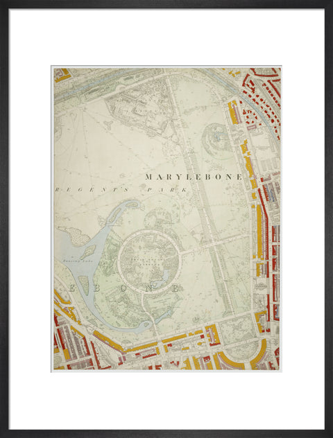
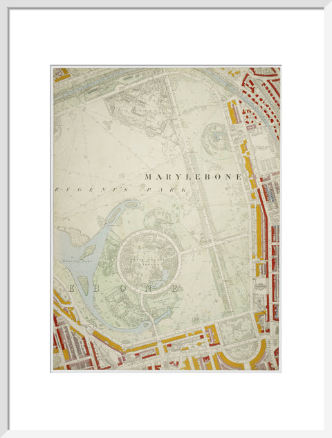
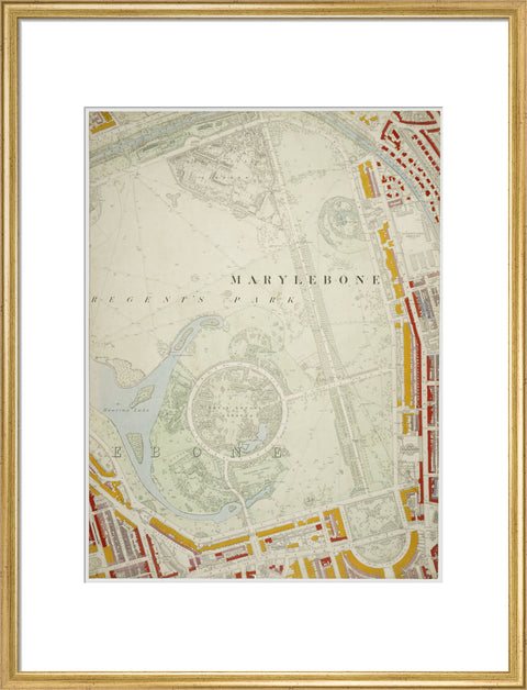
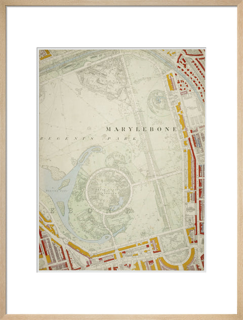
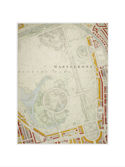
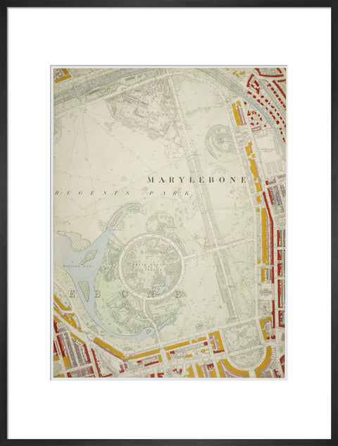
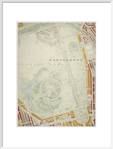
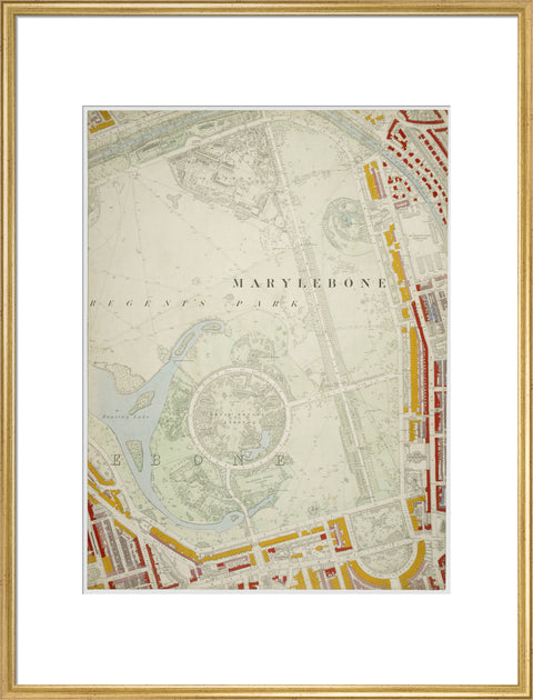
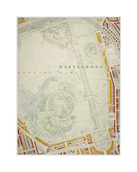
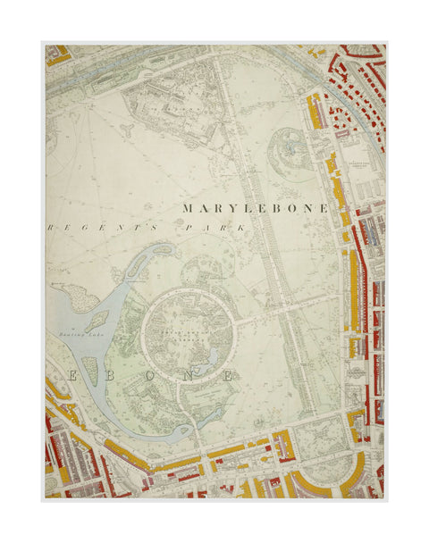
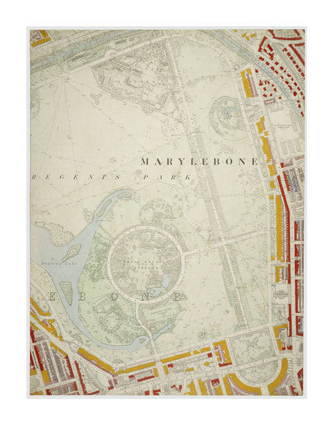
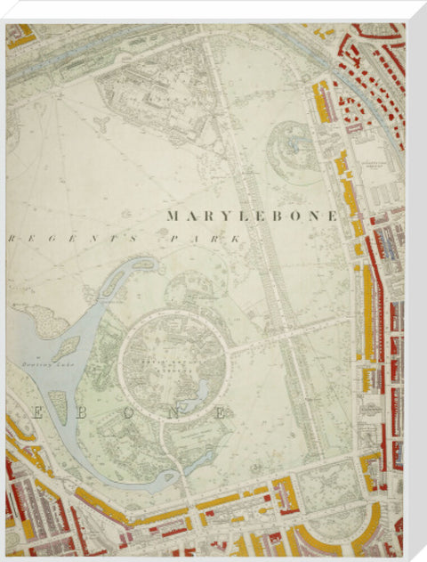
Descriptive Map of London Poverty Section 13 1889
£25.00
small art print
Product size
40 cm x 30 cm
Image size
29 cm x 22 cm
Choose variants
Select Type
Select Size
Select Frame

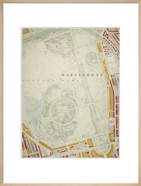
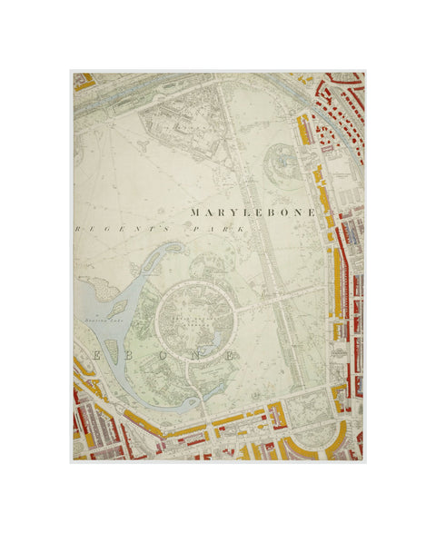
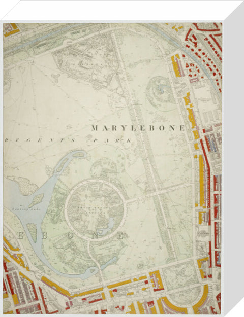
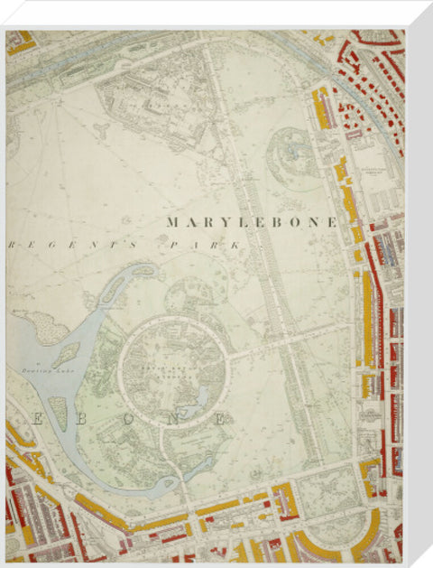
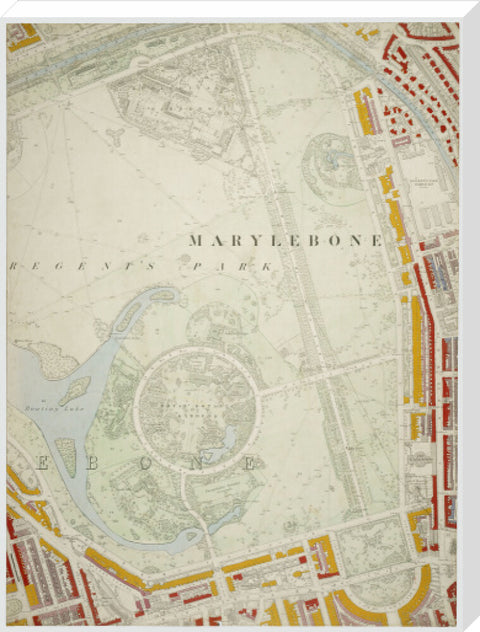
Section 13 of the original Descriptive map of London Poverty, 1889, compiled and hand coloured by Charles Booth and assistants. The section covers the area between Regent's park and immediate surrounding housing. The district covered is Regent's Park.
Artist: Charles Booth
Copyright: © London Museum
Date: 1889 AD - 1889 AD
Object ID: 27.120/1m
Unframed prints are shipped within 5 working days.
Framed prints are shipped within 15 working days.
Postage from £7.90. We ship to the UK and worldwide, but delivery to EU countries is temporarily suspended. View all delivery information.
Our prints are made to order and cannot be refunded unless faulty, damaged or not as described.
For more information, view our returns policy.
Descriptive Map of London Poverty Section 13 1889
From £25.00
