

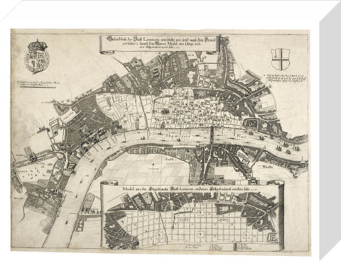
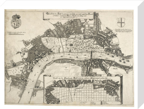
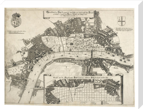
Map of fire damage to Londonc.1670
£25.00
small art print
Product size
30 cm x 40 cm
Image size
22 cm x 29 cm
Choose variants
Select Type
Select Size
Select Frame

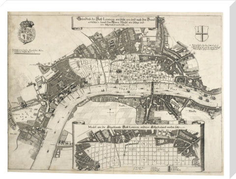
This map was printed in Germany in 1670 and shows the area burnt by the great fire in 1666. At the bottom of the map is a grid-like street plan, which was one of the suggestions as to how London should be rebuilt. It is believed to be Robert Hooke's design. Though his plan was never built, Hooke became one of the City surveyors. He worked with five men to survey the ruins, work on the new building regulations and make changes to the old streets. Due to the need to rebuild as quickly and cheaply as possible, it wasn't possible to create a new city on an idealised plan. Instead, new houses were built on what was mostly the old medieval street plan, though some roads were widened and two new streets were constructed.
Artist: Unknown
Copyright: © London Museum
Date: 1670
Object ID:
Unframed prints are shipped within 5 working days.
Framed prints are shipped within 15 working days.
Postage from £7.90. We ship to the UK and worldwide, but delivery to EU countries is temporarily suspended. View all delivery information.
Our prints are made to order and cannot be refunded unless faulty, damaged or not as described.
For more information, view our returns policy.
Map of fire damage to Londonc.1670
From £25.00
