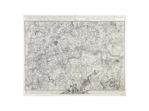
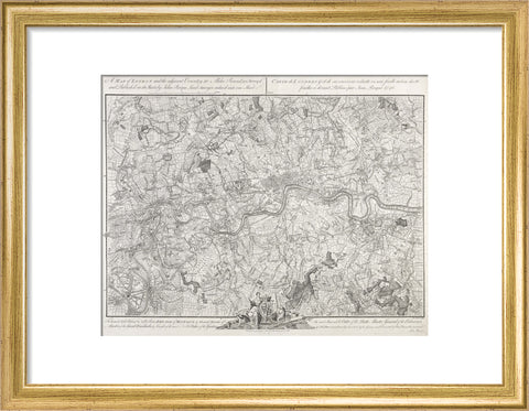
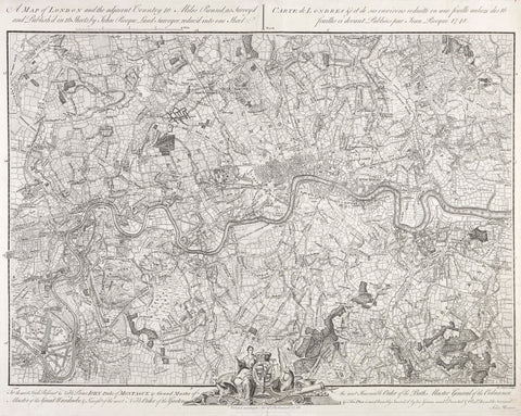

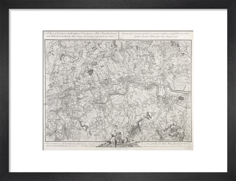
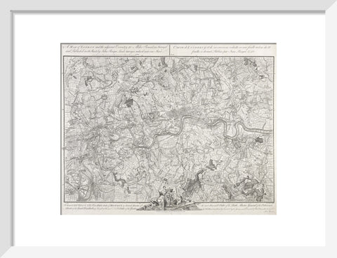
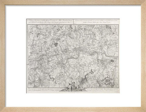
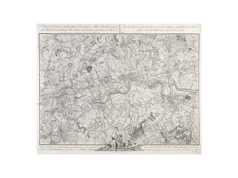
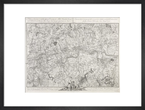
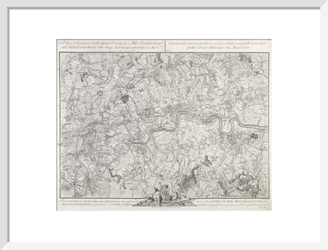
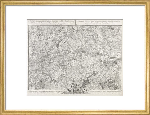
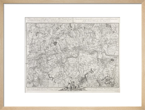
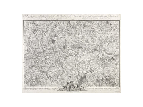
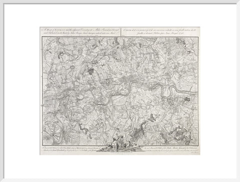
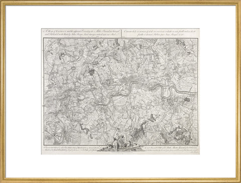
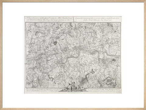
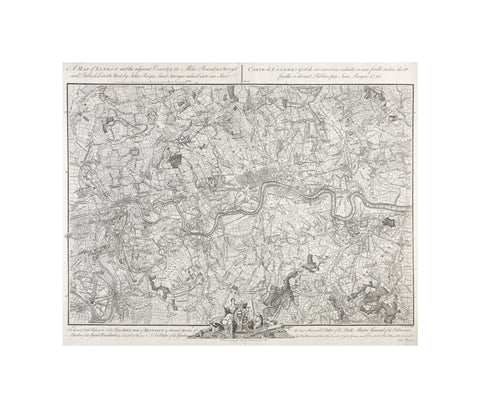
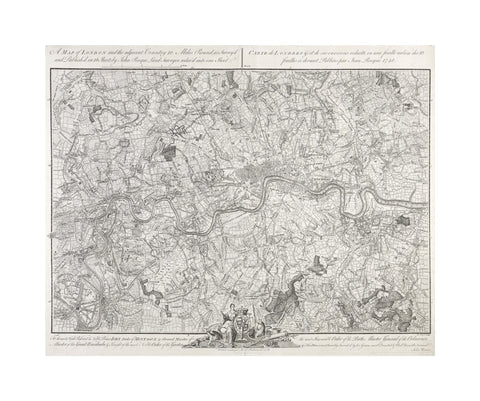
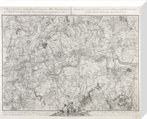
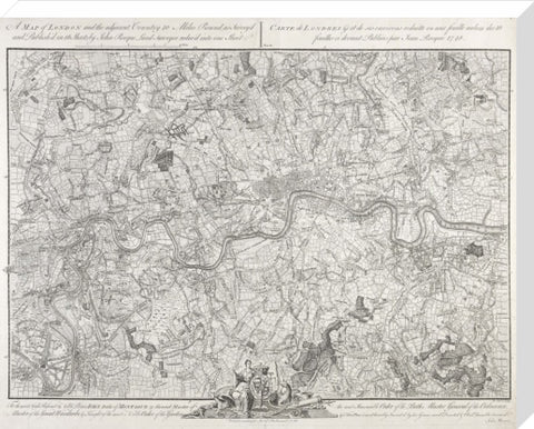
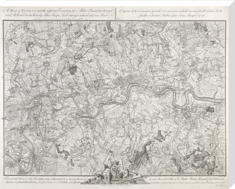
A map of London and the adjacent Country 10 Miles Round 1748
£25.00
small art print
Product size
30 cm x 40 cm
Image size
22 cm x 28 cm
Choose variants
Select Type
Select Size
Select Frame

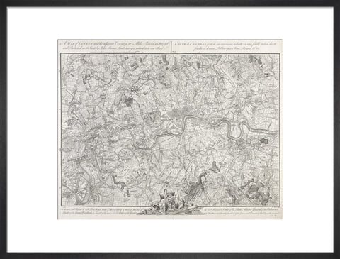
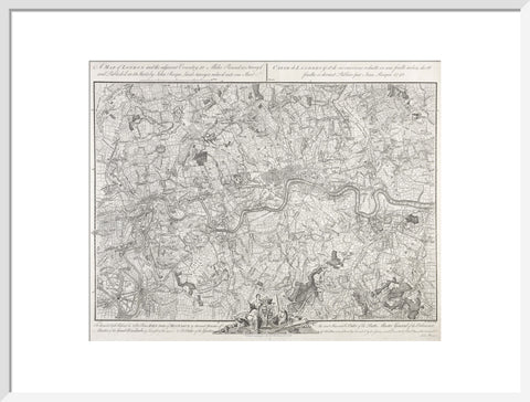
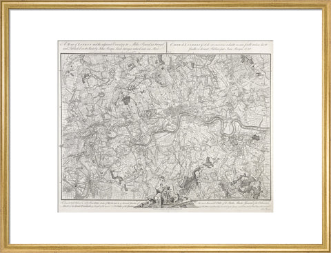
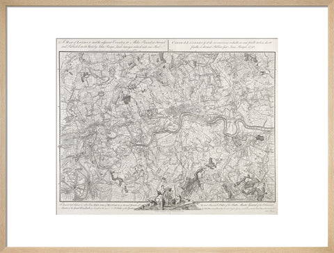
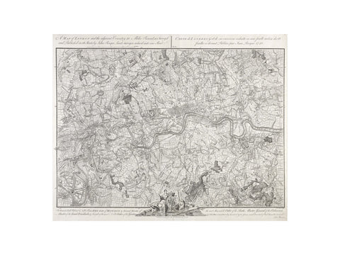
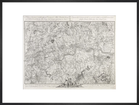
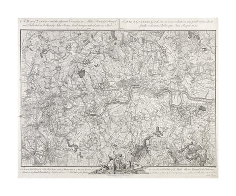
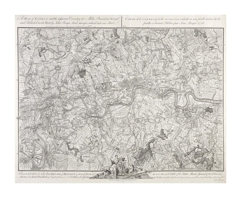
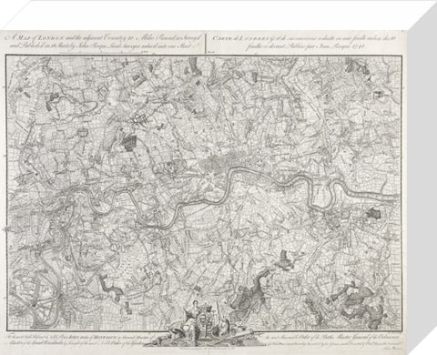
A map of London and the adjacent Country 10 Miles Round, as Survey'd and Published in 16 Sheets by John Rocque Land Surveyor, reduc'd into one Sheet' (title repeated in French). This very detailed map extends as far as the fields of Tottenham, Woolwich, Merton and Hounslow. The dedication below the map is to John, Duke of Montagu. His arms, supporters and motto overlap the centre of the border at the bottom.
Artist: John Rocque
Copyright: © London Museum
Date: 1748 AD - 1748 AD
Object ID: LIB21436
Unframed prints are shipped within 5 working days.
Framed prints are shipped within 15 working days.
Postage from £7.90. We ship to the UK and worldwide, but delivery to EU countries is temporarily suspended. View all delivery information.
Our prints are made to order and cannot be refunded unless faulty, damaged or not as described.
For more information, view our returns policy.
A map of London and the adjacent Country 10 Miles Round 1748
From £25.00
