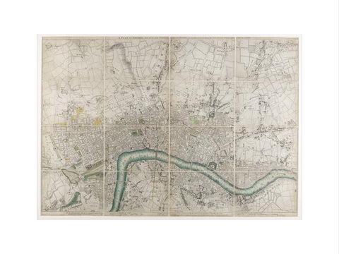
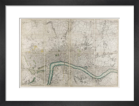
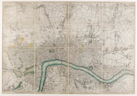

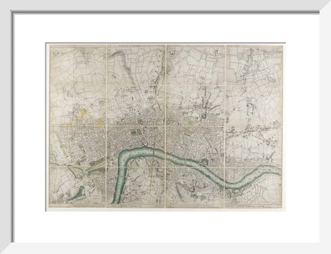
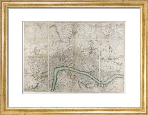
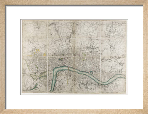
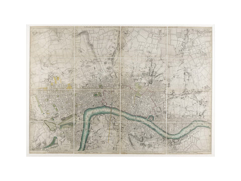
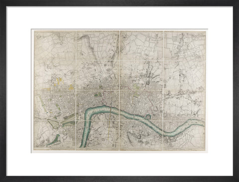
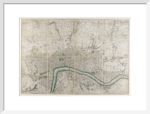
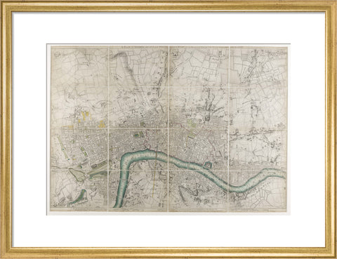
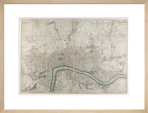
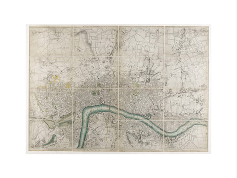
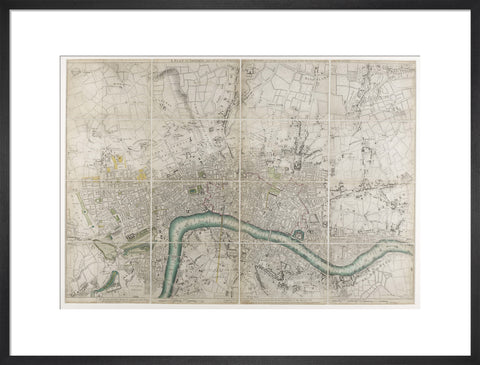
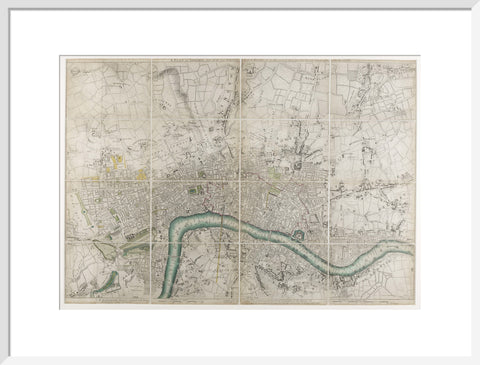
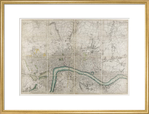
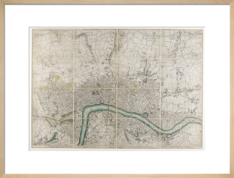
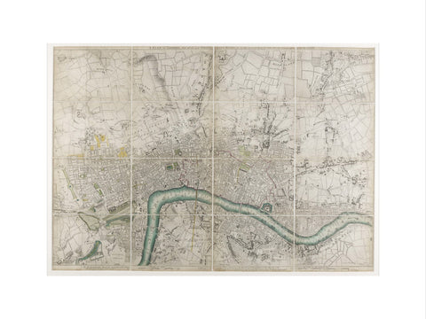
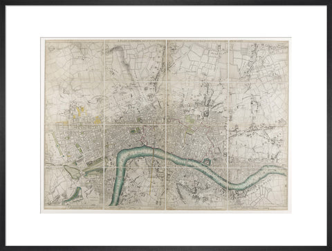
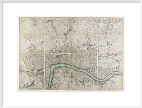
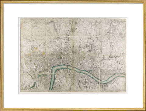
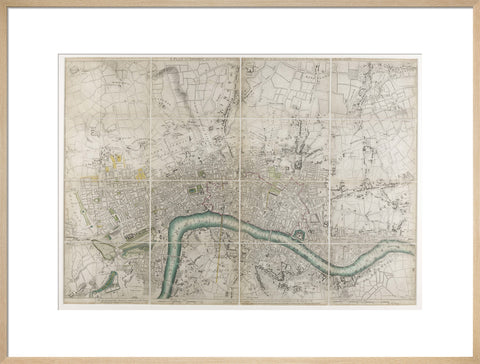
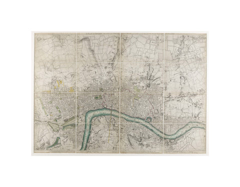
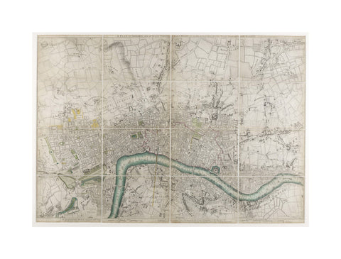
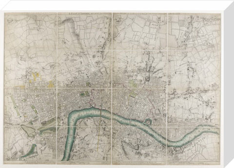
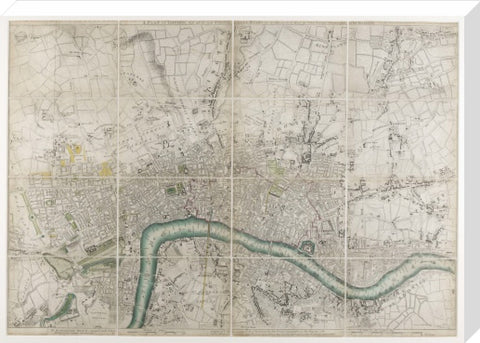
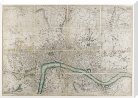
A plan of London with all the new streets 1766
£25.00
small art print
Product size
30 cm x 40 cm
Image size
22 cm x 31 cm
Choose variants
Select Type
Select Size
Select Frame

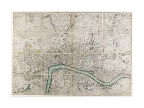
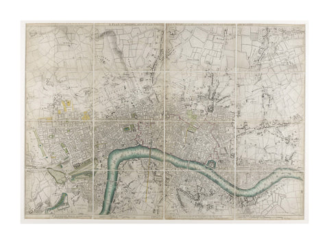
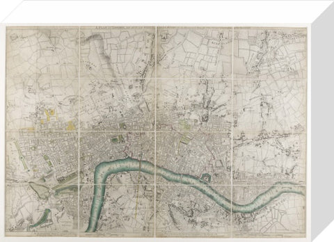
A plan of London with all the new streets, lanes and roads to this present year by John Rocque topographer to his Majesty. John Rocque collaborated with the engravers George Virtue and John Pine to produce this map of London and the surrounding countryside, which he began surveying in 1738. The map was published in 24 sheets and remains the most accurate plan of London produced during the 18th century. Rocque was a land surveyor and cartographer born in France to a Huguenot family. They fled France for Geneva and then England. Rocque maintained close ties with the French Protestant community in London throughout his life.
Artist: John Rocque
Copyright: © London Museum
Date: 1766 AD - 1766 AD
Object ID: 46.63/2
Unframed prints are shipped within 5 working days.
Framed prints are shipped within 15 working days.
Postage from £7.90. We ship to the UK and worldwide, but delivery to EU countries is temporarily suspended. View all delivery information.
Our prints are made to order and cannot be refunded unless faulty, damaged or not as described.
For more information, view our returns policy.
A plan of London with all the new streets 1766
From £25.00
